The City of Richmond is considering setting aside a budget to implement a real-time location tracking of snowplows on the Richmond mobile app.
According to the city’s 2022 capital budget, city council is planning to spend $100,000 on technology that will show the exact locations of snowplows in Richmond.
The budget will cover the purchases of an ESRI GeoEvents server, a data tracking system used for objects that are constantly changing locations, and consulting services to develop, implement and integrate the system while working with the city’s roads and fleet operations teams.
During a heavy snowfall overnight in late December, more than a dozen trucks were plowing and clearing nearly 3,000 kilometres of Richmond roads, said city spokesperson Clay Adams.
More than 93 tonnes of salt, along with nearly 100,000 litres of brine, were used to remove ice on the road as well.
A real-time tracking of snow plows will “ensure citizens are well-informed with timely, accurate and easily accessible communication” so residents are aware of road conditions and the frequency that the city is servicing, explains the City of Richmond.
If the system is implemented, a new snowplow layer will be added to the Richmond Interactive Map and on the MyRichmond mobile app.
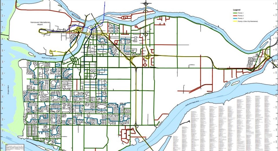
The City of Surrey already has an online snowplow tracking map, however, most Metro Vancouver cities only have public maps that show their snowplow priority routes.
-with files from Kirsten Clarke


