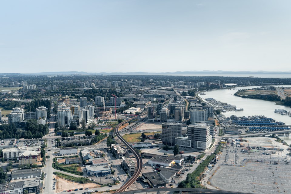
Richmond is developing a strategy to help residents and visitors find their way through the city, and they want to hear from the community.
The city's Community Wayfinding Strategy will include adding new signage, digital wayfinding systems and possibly even pilot projects, depending on community feedback.
"Wayfinding can also promote attractions, places of special interest and the best routes for moving through the city," reads the media release.
The public can share their suggestions by either completing an online survey by 11:59 p.m. on March 26, or checking out the city's upcoming pop-up events:
- Steveston Village (adjacent to the Gulf of Georgia Cannery National Historic Site): Feb. 26, 11 a.m. to 2 p.m.
- Lansdowne Centre parking lot (adjacent to Lansdowne Canada Line Station): March 11, 1 to 4 p.m.
Mandarin and Cantonese interpreters will be available at the pop-up events.
“As Richmond grows as a place to live and visit, the City wants to unify and enhance Richmond as a vibrant destination through improved wayfinding,” said Mayor Malcolm Brodie.
“We encourage input from residents and stakeholders, whose ideas and priorities will shape the Community Wayfinding Strategy that will help elevate the city experience for residents, visitors and newcomers.”
The strategy is expected to be completed by spring 2024. For more information, visit LetsTalkRichmond.ca or contact the City of Richmond Economic Development Office at [email protected].


