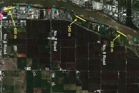
Richmond’s “misery mile” – or the stretch of River Road between No. 6 Road and Westminster Highway known for its safety issues – might see some upgrades following a staff report being presented to the city’s general purposes committee Monday afternoon.
At the end of March, the public works and transportation committee discussed the implementation of road safety measures along this notoriously dangerous stretch of road. Following this meeting, city staff came up with a list of possible short-term safety options, excluding speed humps. Staff then met with eight residents and property owners in the area to gather their feedback.
Proposed safety measures for the area include:
- Reducing the number and increase the size of some of the cycling-related signs including relocation of some of the signs
- Installing speed reader boards
- Retrofitting the centreline at appropriate locations
- Installing shoulder-mounted reflective delineators at selected locations
- Increasing roadway maintenance
Some resident feedback included avoiding having too many signs or avoiding signs with too much text as both would be distracting for drivers. For the long term, residents also indicated a desire to widen the road, with separate space for cyclists and pedestrians.
If all proposed short-term safety measures are approved, they would be scheduled for implementation by this fall.


