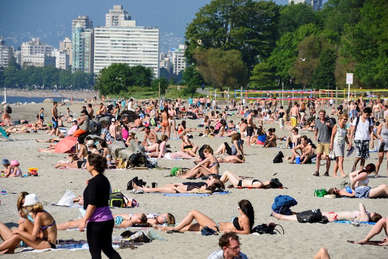
Rainfall is expected in the Lower Mainland following a sunny long weekend.
Environment Canada Meteorologist Brian Proctor tells V.I.A. the Metro Vancouver weather forecast includes a mix of showery, cooler weather and drier conditions with warmer-than-average temperatures heading into next week.
Starting on Tuesday, Aug. 5, an unsettled pattern with a broad trough is settling over Vancouver Island and the Central Coast, bringing widespread showers overnight with amounts varying from five to 10 mm, he explains.
The showers are expected to ease Wednesday night, although intermittent showers are possible through Thursday.
"Then Friday looks a bit unsettled, with a mix of sun and cloud," he notes, adding that skies are expected to clear on Saturday.
Temperatures are expected to remain steady through the week heading into the weekend, with daytime highs averaging around 21 C. However, overnight lows are expected around 16 C or 17 C until Friday, dropping to 13 C with clearing skies.
Seven-day Metro Vancouver weather forecast
A warmer trend is expected to commence Sunday or Monday, with temperatures climbing into the mid-to-late 20s.
"The question is how warm Sunday and Monday will be," he questions, "It's a default ridge of pressure, not a strong one, but temperatures could get warmer as the trough moves out."
Proctor says the ridge of high pressure will remain in place through mid-August, meaning locals have at least one more sun-kissed stretch of above-average temperatures to enjoy before September.
However, the warmer temperatures could spell trouble for parts of the province battling wildfires. Locals heading to the interior or Vancouver Island should monitor conditions in their destination and on highways before heading on the road.
Stay up-to-date with hyperlocal forecasts across 50 neighbourhoods in the Lower Mainland with V.I.A.'s Weatherhood.


