Another strongly-worded letter directed at the George Massey Tunnel Replacement Project team is expected to grace Richmond City Hall's mailroom this week, as city planners ask for clarifications on the direct environmental impact of a new bridge.
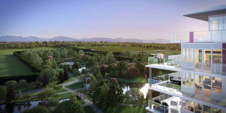
Among the key concerns is the fact the new 10-lane bridge will reduce the overall size of the new Gardens Agricultural Park by almost 20 per cent.
As a result of the bridge, the city maintains it will need to have yet another round of public consultation, to redraw the new, smaller park, which was intended for nearby residential growth.
According to the province's Ministry of Transportation and Infrastructure, a new bridge to replace the tunnel will result in 1.4 hectares of net agricultural land in Richmond. But the City of Richmond isn't convinced it’s an even trade off, noting much of the land being used to widen Highway 99 is highly farmable, behind No. 5 Road properties.
Meanwhile, the land being put back in the Agricultural Land Reserve is from small, narrow plots of highway right-of-way, to the east of Highway 99. One plot of returned agricultural land is found in the Steveston Highway interchange. The city has asked for soil data on the lands.
The city also wants the province to pay for local road upgrades, associated with the bridge’s construction.
The ministry has been vocal about the fact the bridge will save farmland, although local critics and environmentalists have maintained the bridge will open up the lower Fraser River to development.


