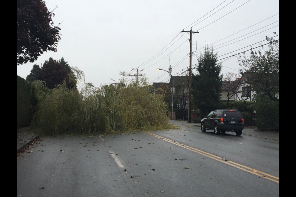
With a series of storms pounding the Lower Mainland this weekend and into next week, the City of Richmond is offering reminders on how to stay safe:
• Ensure street storm drains or gutters are clear of leaves and other debris. This will help prevent localized flooding.
• If you must travel, give yourself extra time since street lamps and traffic signals may experience outages.
• Driver should slow down and watch for pedestrians in dark, rainy weather. Remember, wet leaves are slippery and it may take longer to brake to a stop.
• Remember your traffic safety rules: an intersection normally controlled by signal lights during a power outage becomes a four-way stop. Always stop at a darkened intersection and proceed with caution.
• Unexpected power outages may occur. If you experience one. Call BC Hydro at 1888-poweron (1-888-769-3766) from your home phone or *hydro (*49376) from a mobile phone to report the issue.
CHECK OUTAGE UPDATES at BCHydro.com/Power-Outages
"We’ll have extra crews on standby to respond as needed to any spot flooding, plugged storm drains, downed trees etc. Our pump capacity allows us to move large volumes of water quickly out of the system or move around within the system as necessary. We can also reduce volumes in system prior to a storm to give us more flexibility for dealing with heavy intake, so we’re already managing that in anticipation," said Townsend.
According to Environment Canada, Richmond could see as much as 100mm of rain from Thursday to Sunday.
A wind warning will also be a factor, contributing to potential power outages and clogged storm drains.
“The third and potentially most powerful storm will approach the coast on Saturday. This low pressure system will be accompanied by very strong winds and heavy rainfall, but the exact track of the storm remains uncertain. Computer weather models are predicting a range of landfalls anywhere from Washington State to central Vancouver Island. A worst-case windstorm scenario for the Inner South Coast would be a landfall along central or southern Vancouver Island. Conversely, a landfall along Washington State would not impact BC nearly as much. Stay tuned...” stated the weather servce at 11:30 a.m. Thursday morning.


