The Metro Vancouver weather forecast includes several days of temperatures close to the seasonal average - but some frosty flakes may also be in the mix.
While an Arctic front isn't expected to make its way into the region, temperatures are expected to dip down next week. However, the weekend looks somewhat mild but dreary ahead of the chilly spell.
Starting on Friday, Feb. 23, V.I.A.'s Downtown Centre Weatherhood station in Vancouver shows a high of 9 C and an overnight low of 6 C with a 32 per cent chance of wet weather (as shown in the second slide).
The daytime high tracks pretty close to the seasonal average for the city, which is a high of 8.6 C at this time of year. But the overnight low is several degrees higher; temperatures typically dip down to around 1.9 C, according to Environment Canada's historical climate data.
Saturday's temperatures are expected to be similar but there is a significantly higher chance of precipitation, with as much as 3 mm of rainfall expected to accumulate.
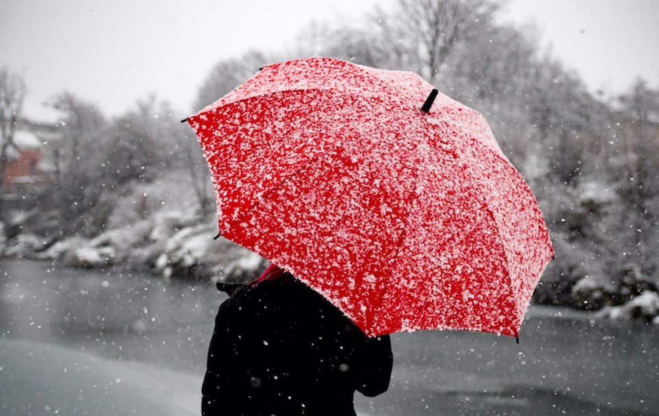
Metro Vancouver weather forecast: Are flurries possible at sea level?
Sunday could see significant rainfall. Rainfall forecasts vary for neighbourhoods across the Lower Mainland, with the Downtown area and Port Coquitlam expected to receive upwards of 20 mm while other places, such as Richmond City Centre, may see just over 10 mm.
Sunday night should also see temperatures drop several degrees across the region as skies begin to clear. After this, there are several opportunities for mixed precipitation or flurries at sea level with chillier overnight lows. However, snowfall isn't likely to accumulate as daytime temperatures will rise significantly.
Travellers headed out on B.C. highways should be mindful of dangerous conditions due to significant snowfall on mountain passes on Sunday and Monday.
Most global weather models currently show that El Niño will transition to ENSO-neutral sometime around May and then to a La Niña pattern by July through September, according to The International Research Institute for Climate and Society.
El Niño can continue to impact local weather heading out of winter and into spring, meaning that milder Metro Vancouver weather could continue into at least April.
Stay up-to-date with hyperlocal forecasts across 50 neighbourhoods in the Lower Mainland with Weatherhood.


