Fire crews continue to fight the George Road wildfire near Lytton Sunday, June 20, after more accurate mapping has determined the fire is burning a 350-hectare area.
The fire was sparked Wednesday, and evacuation alerts remain in place for 10 homes in the Thompson-Nicola Regional District's Electoral Area I, and in the Lytton First Nation's IR 20 Kitzowit reservation.
Saturday the BC Wildfire Service estimated the fire was 250 hectares in size, but with more accurate mapping Sunday, that estimate has risen by 100 hectares.
“Due to the lower fire activity and better visibility on the fire yesterday, our crews were able to fly around the perimeter of the fire, to get an accurate size of the fire,” the BCWS said Sunday in a Facebook post.
“Since this fire is burning in very steep and rocky terrain, the fire has been burning in a very scattered pattern, creating many different fingers and spots. After tracking around all of the different spots and fingers, the fire is now 350 hectares in size.”
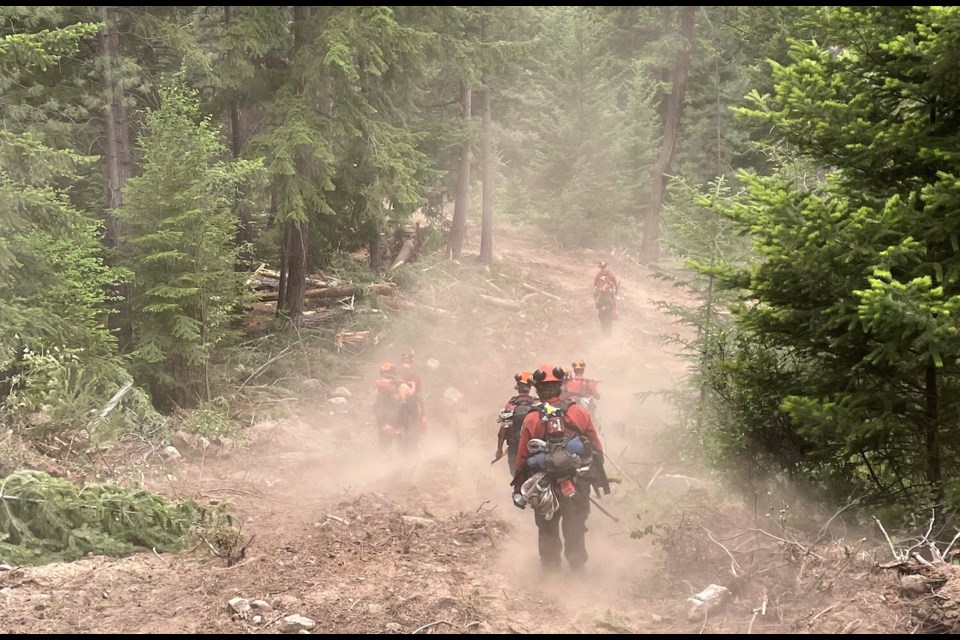
Sunday morning, 77 firefighters are working on the fire, with support from nine helicopters, two water tenders and two pieces of heavy equipment.
“The ground crews and helicopters made good progress on the fire yesterday, taking advantage of the cooler weather that Lytton experienced yesterday,” the BCWS said.
“As we are moving into hotter and drier weather, we are working with our partners and land managers to create a long term management and monitor strategy for the upper areas of the fire that our ground crews cannot action due to safety concerns.”
Saturday, air support on the southern side of the fire was suspended after a drone was spotted flying in the area.
Temperatures in the Lytton area are expected to peak above 30 C everyday this week with a high of 36 C tomorrow.


