Wildfire smoke from the Prairies was forecast Sunday to fill many of the skies from Vancouver Island to Charlottetown with gritty, hazy dust.
Weather maps for Environment and Climate Change Canada showed air quality statements and warnings, stretching from British Columbia in the west to New Brunswick and Prince Edward Island in the east.
Southern parts of the Northwest Territories, as well as much of Alberta, Saskatchewan, Manitoba and Ontario, also were affected.
The smoke was causing or expected to cause poor air quality and reduced visibility, the weather office said. It added that some areas were expected to see the smoke last until Monday.
"As smoke levels increase, health risks increase," reads an air quality statement.
The weather agency said the poor air quality can cause eye, nose and throat irritation, while more serious but less common symptoms include chest pains and a severe cough.
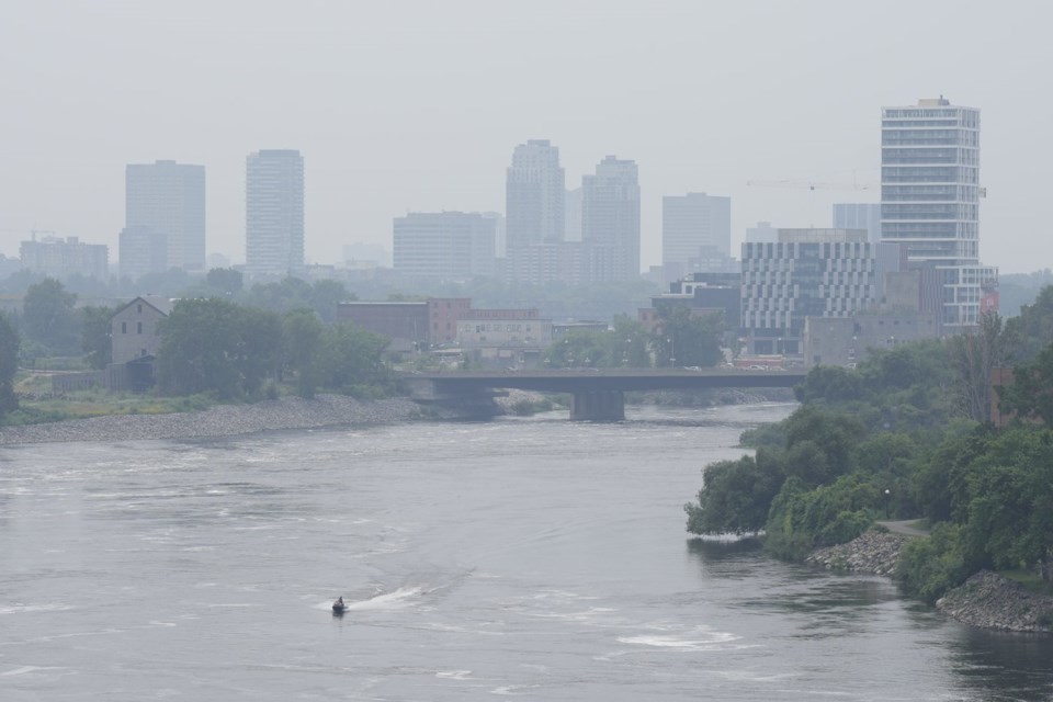
IQAir, a Swiss air quality technology company, said Toronto had some of the worst air quality in the world — at one point sitting at second before dropping to fourth place.
It comes as more than 700 wildfires burn across Canada, including one on the north banks of Cameron Lake in B.C., about 60 kilometres from the city of Nanaimo, that forced hundreds to flee.
The human-caused fire, discovered Thursday, was estimated Sunday at 3.89 square kilometres in size.
The Regional District of Nanaimo has said most of the 393 properties under evacuation order are residential. As of Saturday, another 238 properties were under evacuation alert.
Fire dangers also continue to force evacuations elsewhere in Canada — some for a second time.
In northern Manitoba, the Nisichawayasihk Cree Nation near Nelson House issued a full evacuation order due to nearby wildfires, one of the closest burning about half an hour away.
People were to register at the Norman Linklater Memorial Multiplex before driving down to the RBC Convention Centre in Winnipeg, some 800 kilometres south.
A notice on social media said the evacuation of its roughly 4,600 residents was precautionary. Winds were believed to be strong enough to fan the nearby flames and cut off road access.
"Please do not panic, we are not in danger," the evacuation notice said. "Our main concern is the highway closure."
People who were out of town for the long weekend were to contact Nation officials to report where they were staying. In July, some residents fled following a state of emergency over heavy wildfire smoke.
Manitoba's wildfire service said at least two fires were burning north of the community, including one estimated to be more than 46,000 hectares in size.
In Saskatchewan, the village of Pinehouse, roughly 500 kilometres north of Saskatoon, evacuated all non-essential personnel earlier this week. So too did the Clearwater River Dene Nation.
On top of the air advisories, many parts of both Saskatchewan and Alberta fell under heat warnings as daytime temperatures Sunday were forecast to be upwards of 30 degrees C.
— With files from Ashley Joannou in Vancouver
This report by The Canadian Press was first published Aug. 3, 2025.
Aaron Sousa, The Canadian Press


