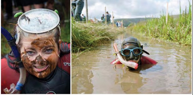
The results are in. Get ready to go bog snorkeling...maybe.
A Garden City Lands plan that will shape the community uses and environmental landscape of the 136-acre park and ecological reserve has been completed, pending approval by city council.
On Tuesday the City of Richmond was scheduled to present to the parks and recreation committee the Garden City Lands Legacy Landscape Plan, a final document intended to act as a guide to the planning and development of the lands.
It was found that residents mostly wanted the lands to remain natural and to conform to the priorities of the Agricultural Land Commission.
In November about 1,000 residents participated in an open house detailing three concepts for the land. Participants were asked to fill out a survey of their thoughts. One-quarter of those who completed the survey chose not to back any of the concepts, while a concept called ‘In Nature’ was the most popular.
The result of the survey led to the draft plan, which intends to focus on urban agriculture, the natural environment, community wellness and a cultural landscape where people can meet and comingle.
Ultimately, what has been turned out is a plan to mostly leave the eastern half of the lands as an ecological reserve (grasses and bog), while developing the western half for community uses. The northwest portion could become a robust park for picnics. The far western portion of the lands, at Lansdowne Road, could see a natural water feature acting as a wetland adjacent to a community hub and parking lot. Multi-use agricultural fields and a moss and bog sanctuary accessible by boardwalks may be created in the centre. Walking and cycling paths will line the perimeters and No. 4 Road will have pullout parking spaces.
It was found that of all the concerns the public had the biggest ones revolved around a proposed community hub and uses for the community field as they were perceived to not meet the permitted uses of the Agricultural Land Commission (the lands remain in the Agricultural Land Reserve).
Overall there was about 80 per cent support for natural features such as bog conservation and grass meadows. About two-thirds of respondents were in favour of agricultural uses for education and research.
Aspects that required buildings or a footprint such as the community hub, a community kitchen, interpretive art and amenities like trails and boardwalks received less support and more neutral responses.
Jim Wright of the Garden City Lands Coalition, a grassroots group that advocated for the lands to remain in the ALR when the city had initially planned to develop a portion of it, said any plan should have a 100 per cent commitment to ALR purposes, and he’s not sure that is happening at the moment.
“This whole process has come from the view of ‘What can we do with this land despite it being in the ALR,’” said Wright.
“I want to see a more robust plan. They still haven’t worked out the hydrology or how the trails will work,” he added.
According to the plan the city must “tread lightly and develop slowly” as “understanding the hydrology regime is critical and requires constant monitoring.”
The plan calls for the city to continue consultation with the Scientific Advisory Panel for Burns Bog as well as academics from the University of B.C.
Wright said some of the wording in the plan is vague and open to interpretation that could go against the essence of the ALR – namely agriculture and the natural environment.
Some maps appear to miss salient information. For instance one map lists an orchard, when it appears as a parking lot on another. Wright was particularly concerned about the community fields and the potential to turn them into artificial turfs in the future for sports events.
According to the plan “flex fields” are intended to be “flexible and adapt to community needs over time.”
City spokesperson Ted Townsend noted artificial turf is not permitted in the ALR and the city has “no intention to seek ALR exclusion” on the lands.
The plan calls for several potential activities — served by a “cluster” of buildings at the hub — to take place in the lands such as gardening, agriculture education and, of course, walking and picnicking. Perhaps one of the more interesting propositions is bog snorkeling.
At the northwest corner, known as “the mound,” a thick set of trees will buffer the park from Alderbridge Way, which is also the location of a new Walmart currently under construction.
If the committee accepts the plan it will go to city council for final approval.


