New Westminster is keeping an eye on snowpack levels in B.C. – but it’s too soon to tell how it would impact the Fraser River this spring.
In a Feb. 28 report to council, staff provided an update on the snowpack conditions as of Feb. 1 and the city’s preparations for the 2022 freshet.
“Staff will continue to monitor the river basin conditions, assess the developing risk, and initiate minor preparations and inventory review,” said the report.
According to the report, the overall snow basin index for the entire Fraser River basin is 108%, which is near average for this time of the year. But the report notes that only 66% of the annual B.C snowpack has typically accumulated by early February, so it’s still too early in the season to determine the flood risk as there is still a few months for snow to accumulate.
“With a few months left for snow accumulation, seasonal snow packs can still change significantly,” said the report. “The critical weather factors that result in increased risk of flooding are extended periods of hot weather, or a significant frontal rainstorm near the peak time of snowmelt. In general, snowpack factor produces about 20% to 40% of the flood risk, while weather factors produce about 60% to 80%.”
According to the report, seasonal weather forecasts from Environment and Climate Change Canada in late January indicate an increased likelihood of colder than normal temperatures from February through April for the entire province. It’s also believed there is an increased likelihood of greater than normal precipitation in some areas of B.C.
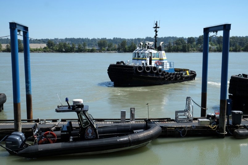
The waterfront portions of the New Westminster mainland as well as all of Queensborough are located within the floodplain of the Fraser River. Only Queensborough has an existing permanent dyke system for protection against flooding from the Fraser River,” said the report. “The engineering department has a high-water response plan which is invoked annually to ensure that risk of flooding in vulnerable areas in the floodplain is managed by a series of temporary mitigation measures in the event of a significant freshet.”
The City of New Westminster’s “freshet preparation work plan” outlines a number of steps to be taken by the city including monitoring snowpack information to assess risk (currently being done); completing a dike inspection and crest survey to identify potential areas where either permanent or temporary works may be necessary (scheduled to be done in March); coordinating with adjacent municipalities to develop joint work plans where inter-boundary concerns exist (work is ongoing); and evaluating new flood protection techniques that have been developed since 2020 that could be used for permanent or temporary mitigation measures (completed).
In addition, the work plan includes updating contact lists of local suppliers and contractors and potential emergency measures. Staff say the city has more 40,000 burlap sandbags (with another 12,000 on standby order) and will be placing orders for various sizes of sandbags based on the River Forecast Centre modelling forecasts.
“There is no expenditure at this time except the allocation of regular staff time to monitor the river basin conditions, assess the developing risk, initiate minor preparations and inventory review, and to complete the annual dike inspection,” said the report. “There is sufficient budget allocated at this time to respond to the current level of risk. Additional financial resources may be required to implement flood mitigation measures depending on the further development of freshet conditions.”
Follow Theresa McManus on Twitter @TheresaMcManus
Email tmcmanus@newwestrecord.ca


