Richmond city council has endorsed an ecological management plan expected to “manage and enhance” the city’s ecological assets.
The Ecological Network Management Strategy outlines Richmond’s remaining natural areas, which constitute 23 per cent of the municipality if the intertidal marine areas of Sturgeon Bank and the South Arm Islands are included.
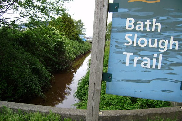
Aside from large marine areas, the city has many ecological “hubs” such as Terra Nova Rural Park and the Richmond Nature Park. It also has ecological “corridors” such as the numerous sloughs and trails.
The strategy aims to improve the urban ecology of single-family neighbourhoods by promoting and supporting “backyard naturalization.”
Managing rainwater, planting native species, keeping an inventory of trees and preventing fragmentation of agricultural areas within the city are other objectives.
On Monday, at a council meeting, Coun. Harold Steves moved a resolution for the city to research how agricultural land is being used by production facilities, such as wineries. Steves said he is concerned businesses that use agricultural products are allowed to set up shop on protected farmland without adequately farming the surrounding land. He said he would prefer facilities be built on non-farmable land in order to preserve farmable soil.
The strategy claims to be conducting work to address the eroding Sturgeon Bank, which is managed by the province.


